
This sea is a part of the Arctic Ocean; it washes the shores of Russia and Norway. It was named after Dutch seafarer Willem Barentsz in 1853. However, many ethnic peoples of Russia have their own names to the sea. For example, the Pomors call it ‘Studenets’; until it was given its current official name, it was called the Murmansk Sea (in honor of the city of Murmansk on its shores) or simply Russian Sea.
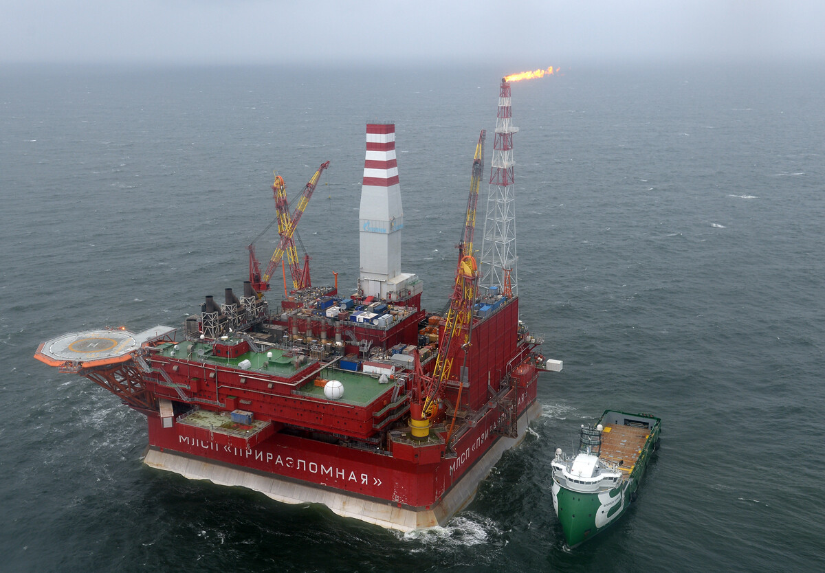
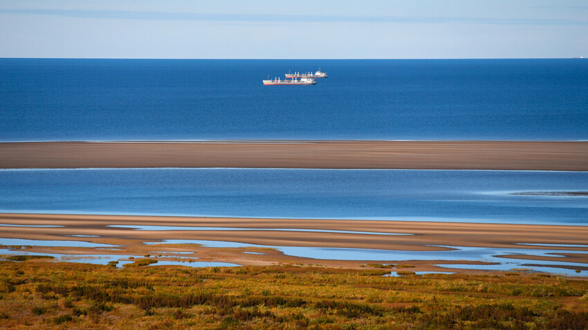
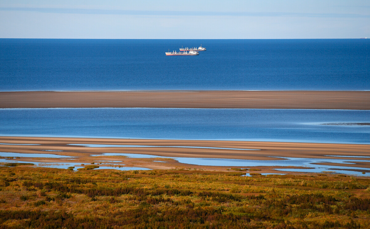
In reality, it’s not a full-fledged sea, but rather, a water territory within the Barents Sea, which was called the Pechora Sea back on maps from the mid-16th century. However, in 1935, Soviet authorities put an end to this debate: in their decree, they decided that the south-eastern part of the Barents Sea would be called the Pechora Sea – and nothing else.

This sea fully belongs to Russian inner waters and to the group of the Arctic Ocean seas. The White Sea is one of the smallest seas in the world. Until the 17th century, it had many names – the Cold Sea, the Solovetskoye Sea, the Northern Sea, the Calm Sea, the White Gulf; in Scandinavian chronicles, it was called ‘Gandvik’, which means ‘The Bay of Snakes’.
Its current name derives from the Karelian ‘Valgiemeri’, where ‘valgie’ means ‘white’ and ‘meri’ – ‘sea’. It’s ‘white’, because, in sunny weather, when the ice retreats, one can see the cloudy sky in its reflection. Because of that it looks like the sea is of the same white color.

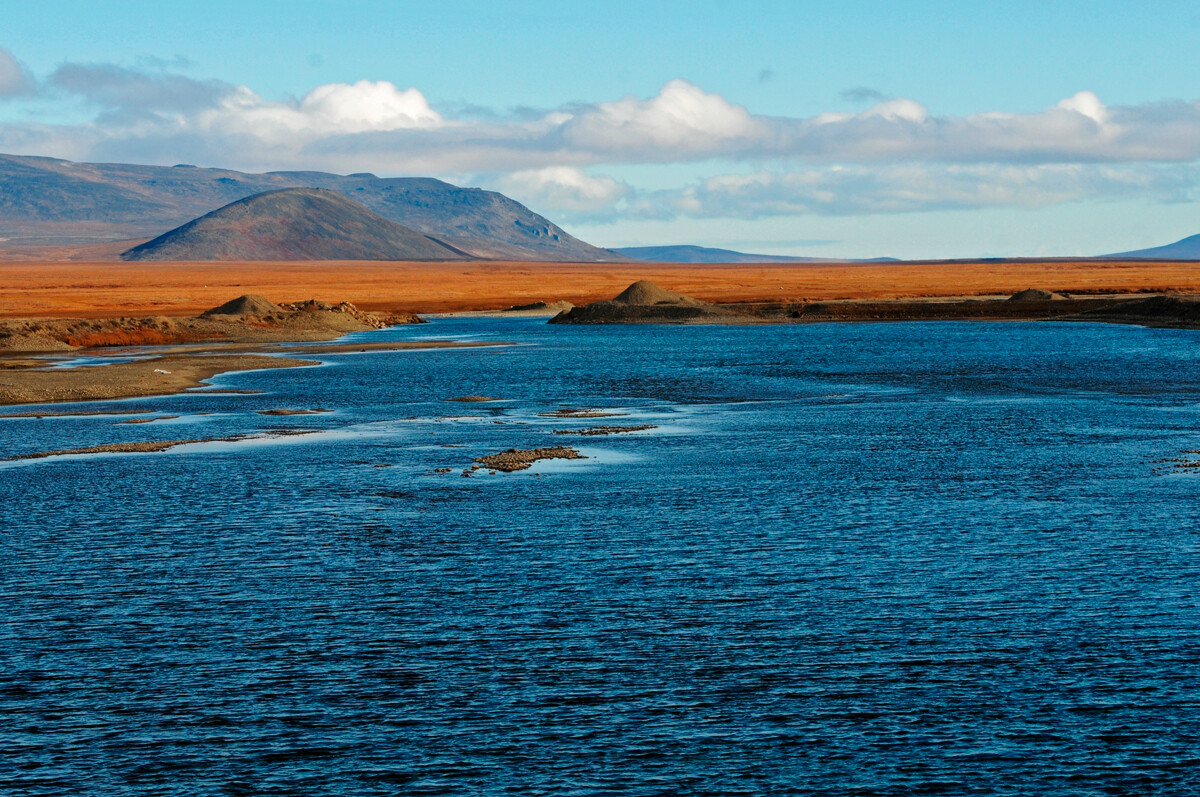
This sea lies fully within the borders of Russia and, as many others, belongs to the Arctic Ocean. Territory-wise it washes the shores of Yakutia and Chukotka. Its name was given to it by the Russian Geographical Society in 1935, due to it being located in the eastern part of Siberia, almost at the very edge of the continent.
A large portion of its shoreline is swamps and sands, mixed with perennial ice. Currently, the ice is slowly melting, thus constantly changing the outline of the shore. So, maps of the shoreline of this sea have to be renewed every year.
This sea also belongs to the waters of the Arctic Ocean. It’s located near the Barents Sea in the northern part of Russia; these seas are separated only by the Novaya Zemlya archipelago. In the past, it was called the ‘Nyarzomskoye Sea’ or the ‘Narzemskoye Sea’, derived from the Dutch word ‘Noordzee’ – ‘The Northern Sea’. In the 18th century, it was renamed ‘Kara Sea’ – from the name of the Kara River that flows into its waters.

This sea neighbors the Kara Sea and is also part of the Arctic Ocean. The Laptev Sea and the Kara Sea are separated by the Taymyr Peninsula and by the Severnaya Zemlya Islands. It was named in honor of Russian polar explorers – brothers Dmitry and Khariton Laptevs. Until 1935, this body of water bore the name ‘Nordenskiöld’ – in honor of the seafarer who, for the first time in history, crossed the Northeast Passage to the Pacific Ocean.
The Laptev Sea is also the largest source of Arctic Sea ice in the world; on the surface, this sea’s water is almost fresh, rather than salty, due to the large amount of rivers flowing into it – the Lena, Khatanga, Anabara, Olenka and Yana, as well as a multitude of smaller rivers.
This is an Arctic Ocean sea, located between Chukotka and Alaska. The International Date Line runs through its waters – an imaginary line that separates the beginning of the next day from the end of the previous one (technically, by crossing this line from East to West, you can travel to the next day). Its name comes from the Chukchi ethnic people that originally populated the Chukotka Peninsula.
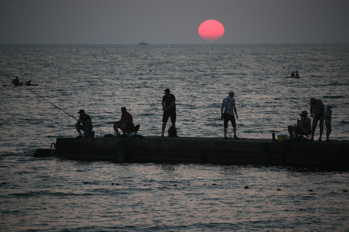
This sea is considered to be the shallowest in the world – its maximum depth doesn’t exceed 13.5 meters and has an average depth of just 7 meters. According to the majority of versions, this body of water was named after the Cuman prince Asup (Asuf), who built a fortress on the shore of this sea and ruled here in the 11th century. The Sea of Azov entered the Russian toponymy only in the second half of the 18th century.

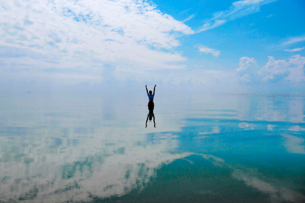
This sea is not connected to the World Ocean and lies on the border between Europe and Asia, due to which it’s often simply called a very large lake. However, the Caspian Sea is more like a sea, not only due to its area (only 12% smaller than the Black Sea), but it’s also considered unique by its water composition. In the northern part of the Caspian Sea (where the Volga River flows into it), the water is almost fresh, while it’s salty in the south. The Caspian Sea is also a unique source of biological resources; it has up to 80% of world supply of fish of the sturgeon family.
In the Russian language, its name comes from the Latin name ‘Caspium Mare’ – ‘the Caspian Sea’, which takes us back to the ancient tribes of the Caspi people, who supposedly lived on the shores of this body of water in the first millennium B.C.
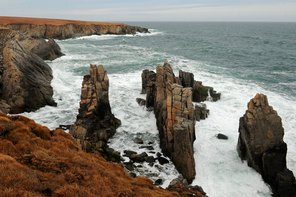
This is an inner sea of the Atlantic Ocean; it washes the shores of several countries, including Russia. The unique feature of this sea is the complete absence of life at depths more than 150 meters, due to the large presence of hydrogen sulfide. One of the versions of its name origin is based on the fact that anchors made of metal, lowered to a depth of more than 150 meters for a long period of time, got a black coating because of the reaction with the hydrogen sulfide. This sea is also one of the warmest in Russia.
This sea washes both the shores of Russia and the U.S. and belongs to the Pacific Ocean. Until the 18th century, it was marked on maps as the ‘Kamchatka Sea’ or as the ‘Beaver Sea’. Under the name ‘beaver’, people meant the local sea otter. By the way, the production of fur of this animal was the reason for the exploration of this sea. Its modern name honors sea explorer Vitus Bering, who explored this sea in 1725-1743.

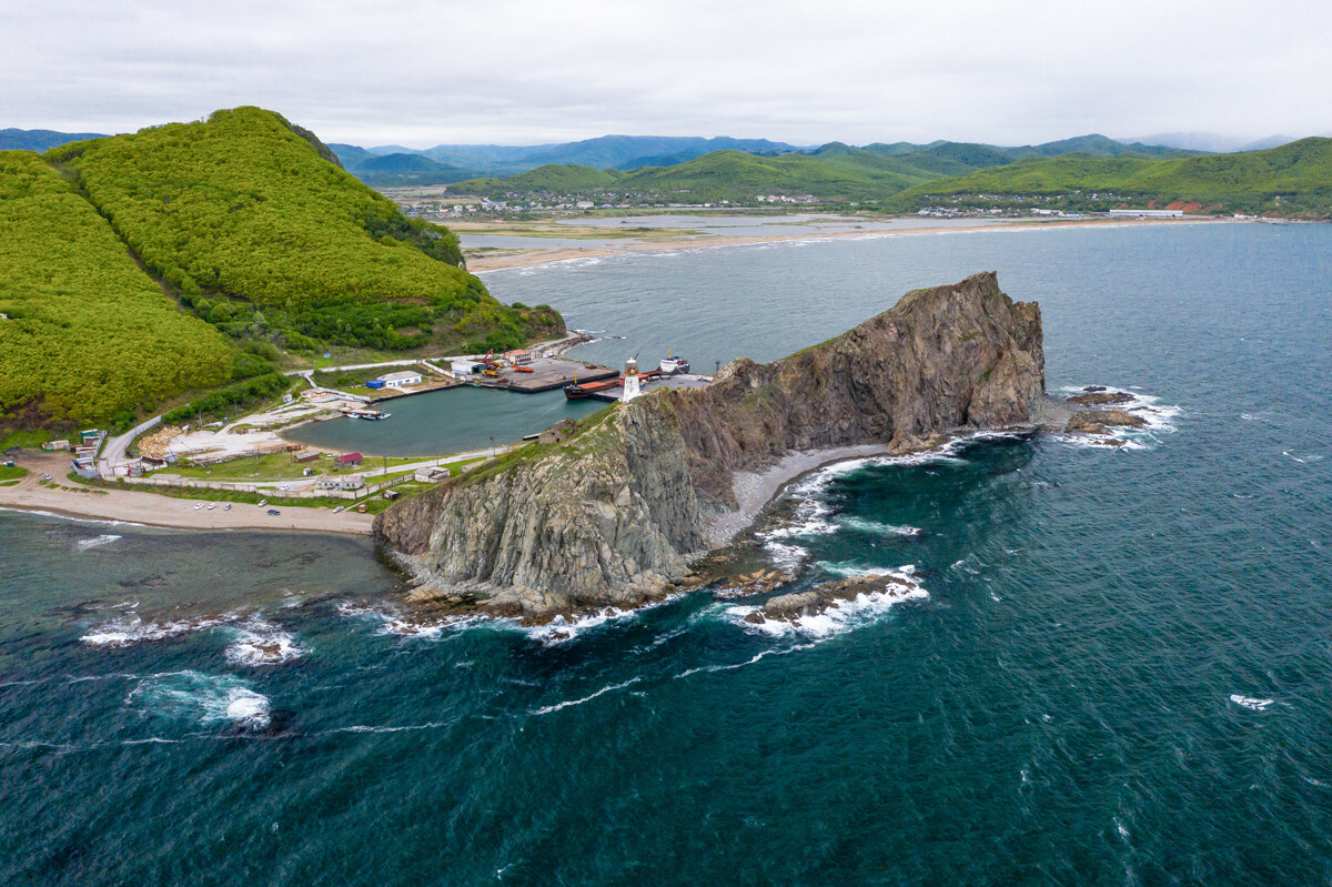
This is a Pacific Ocean sea, washing the shores of Russia and Japan; it’s located between the Kamchatka Peninsula, the Kuril Islands and the Japanese island of Hokkaido. It’s named after the Okhota River, which flows into it. In the past, the Japanese called it the Hokkai Sea, which, in translation, literally means ‘the Northern Sea’; but, since this name was later taken by the Northern Sea in the Atlantic Ocean, they adopted the Russian name and now it goes by: ‘Okhotsuku-kai’. There are a lot of commercial fish species in this sea, but it’s the Kamchatka crabs that are the most interesting and who can grow to the size of a human!
This is a sea in the Russian East, which makes up a part of the Sea of Okhotsk. Its name derives from the Shantar Islands, which separate the sea from its large neighbor. Sometimes, this sea is also dubbed the ‘Russian Bermuda triangle’ for its strange climate conditions – there are regular tides with a flow velocity greater than 15 km/h – this is faster than every Russian river. Also, ice can stay on its surface, even in summer, which is uncharacteristic of this climate.
Despite its name, the sea washes not just Japanese shores, but also the shores of Russia, North Korea and South Korea. The sea neighbors the Sea of Okhotsk and the Yellow Sea. It’s called the ‘Sea of Japan’ due to the Japanese archipelago that separates it from the northern part of the Pacific Ocean. This name has been used for more than 200 years. The only countries that call it something else are North and South Korea. In South Korea, this sea is called the ‘Eastern Sea’, in North Korea – the ‘Korean Eastern Sea’.
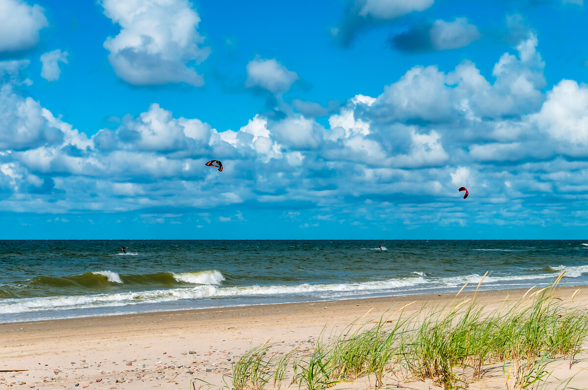
Of all the regions of Russia, only Kaliningrad Region has access to this sea. According to one of the versions, its name comes from the Prussian word ‘balt’ – or ‘swamp’ in English. This word was widespread in the names of many ethnic peoples, including the Latvian and Lithuanian peoples, who lived on the shores of the Baltic Sea. Some historians say, however, that its name came from the Belt Strait in Denmark.
If using any of Russia Beyond's content, partly or in full, always provide an active hyperlink to the original material.
Subscribe
to our newsletter!
Get the week's best stories straight to your inbox

