The edge of the world is really just as you’ve imagined it! Russia occupies a huge part of Eurasia, and its extreme points are mostly located in uninhabited places. In the East and the North there are, apart from mainland locations, also islands, and each coincides with the extreme points of Eurasia.
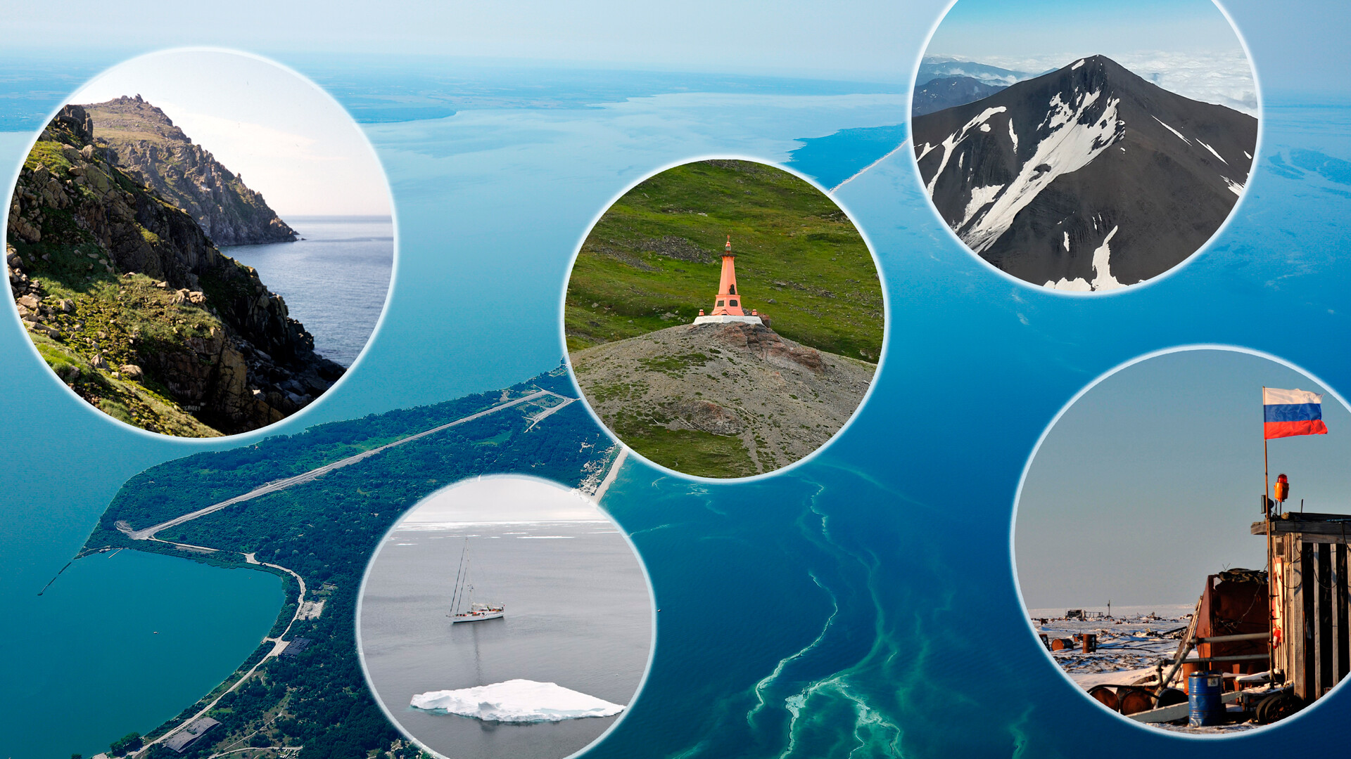
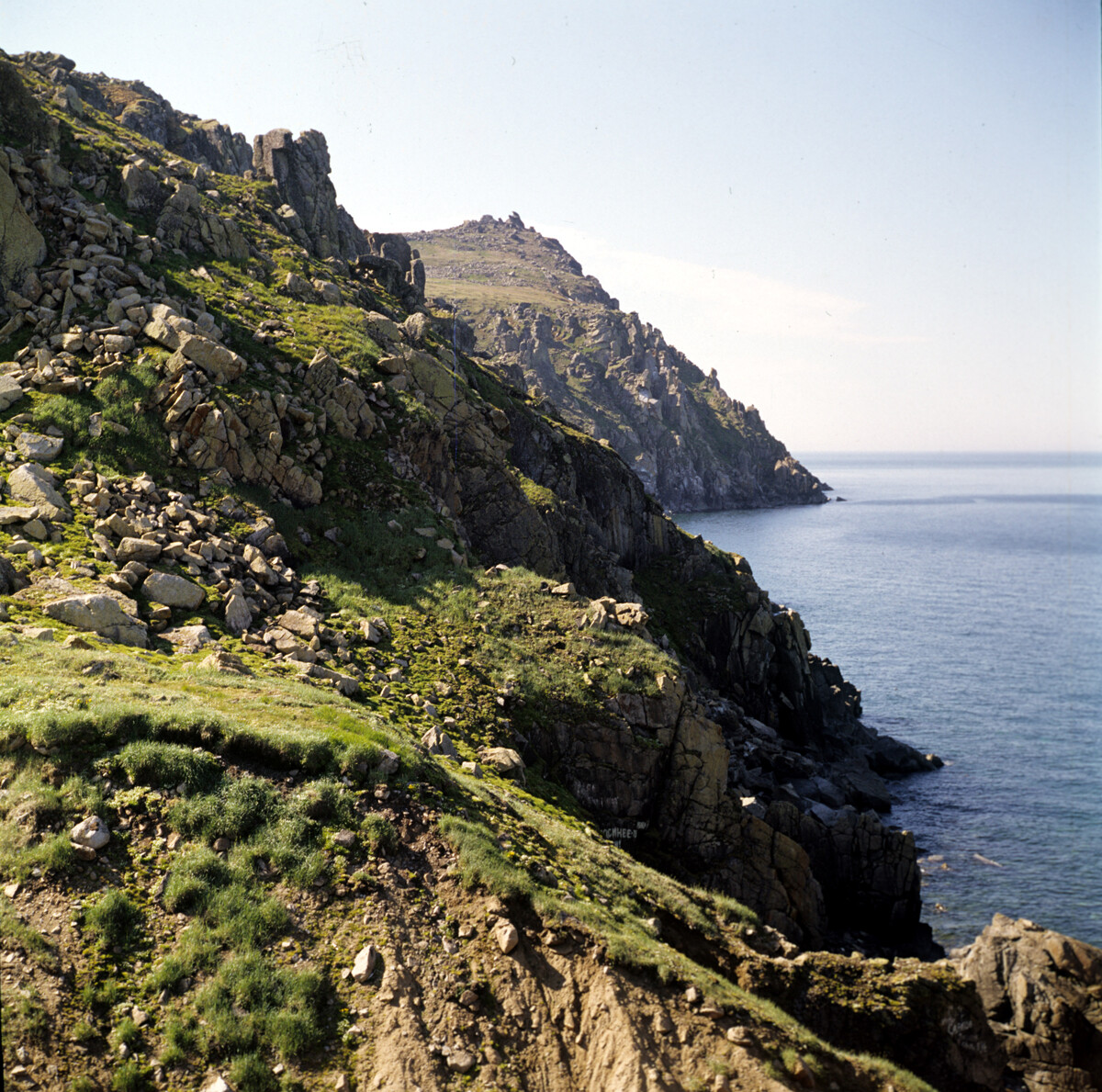
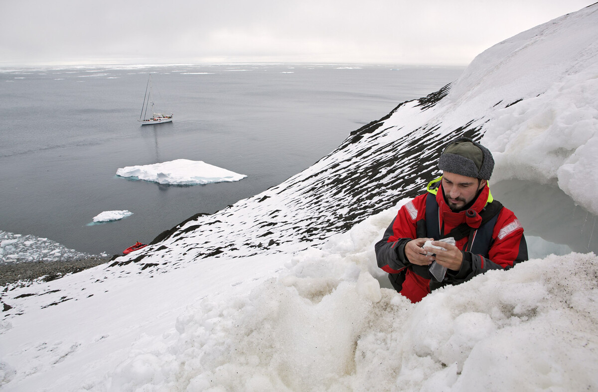
High rocky coast that plunges steeply, winds that knock you off your feet, and in front of you – the raging waters of the icy Bering Strait. In clear weather (which Chukotka rarely has), you can see Alaska from here.
Cape Dezhnyov was named in honor of trailblazer Cossack Semyon Dezhnyov, who discovered this place in the mid 17th century (as well as many other lands of the Far East).
Even today, a trip to Cape Dezhnyov is a truly extreme journey, for which one needs both physical and psychological preparation and training. The nearest settlement is the eastern village of Uelen, 10-15 kilometers away across tundra (with no roads, of course).
Nonetheless, several hundred tourists reach this place annually, escorted by experienced local guides.
Did you know that Russia and the U.S. are only 4 kilometers apart? Although these countries are located on different continents, they have a common border that lies between the Diomede Islands in the middle of the Bering Strait.
They both are 35 kilometers from mainland Alaska; the two islands are just 3,750 meters apart. The International Date Line also lies here.
Ratmanov Island (or Big Diomede Island) is Russia’s easternmost island point, and it’s the site of a base for the Russian border guards. Just like Cape Dezhnyov, Ratmanov Island comes under the authority of the Chukotka Autonomous Area.
Named after the 18th century navigator Semyon Chelyuskin, this cape is located in the very north of the Taymyr Peninsula (the Krasnoyarsk Territory). With his crew Chelyuskin reached this point in 1742 and initially named it Cape East-Northern. Only in 1878 did the Russian Geographical Society rename it in honor of the explorer, after the first maps of Taymyr had been completed. The cape, however, was only recognized as the continent’s northernmost point in 1919, when scientists were able to conduct precise measurements.
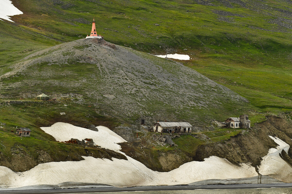
A polar research station has been operating on Cape Chelyuskin since 1932, where up to eight people spend the winter. The scientists observe and study the northern lights, atmospheric precipitation, soil, and so on. Also the research station hosts Eurasia’s northernmost airfield.
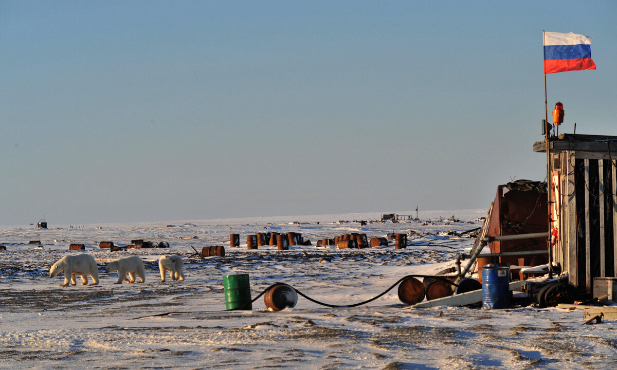
In reality, the northernmost point is located 450 meters away from this cape, but it doesn’t have a name yet. The cape is located on Rudolf Island in the Arctic Ocean and is part of the Franz Josef Land archipelago (officially it’s part of the Arkhangelsk Region). Winter reigns here for (almost) the entire year; and there are no settlements. But in 2003, a 300-kilogram wooden cross was installed here.
You can only reach this place aboard an icebreaker, so tourists are a rarity for these parts.
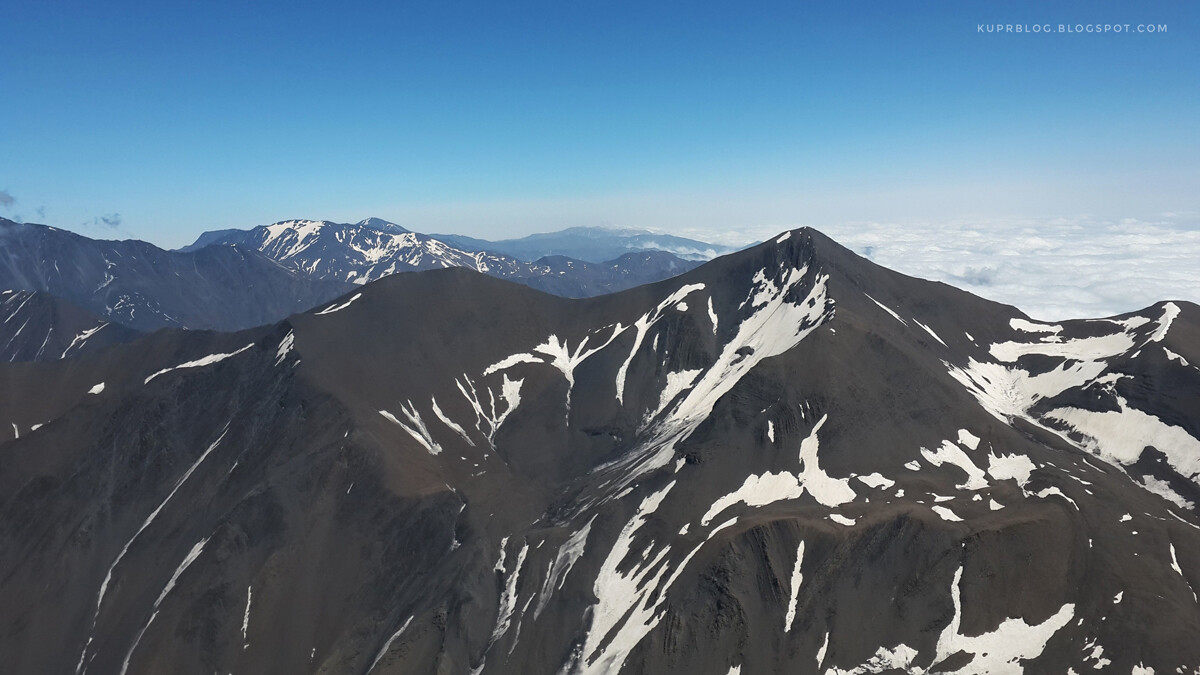
The mountain peak Ragdan is located on the border between Dagestan and Azerbaijan; the southernmost point of Russia lies approximately 2.2 kilometers from this mountain. It has no name, but it’s known that the height of this point exceeds 3,500 meters (slightly lower than Peak Ragdan). You won’t meet any people there, but the very rare Caucasian leopard loves these parts. To conquer this mountain, one needs to be in good physical shape; it takes several days to climb.
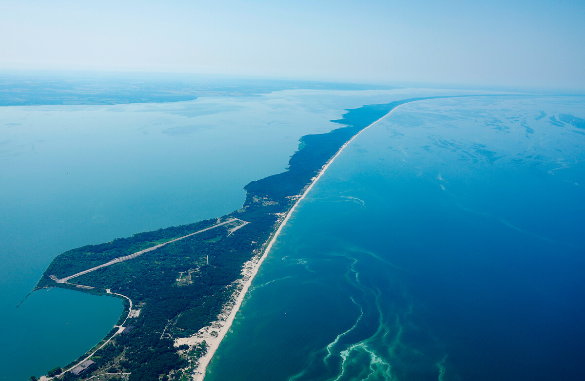
The Kaliningrad Region is Russia’s westernmost region, and it’s situated at the Narmeln border crossing with Poland. The site is located right on the Vistula Spit, and apart from the border security zone, there’s a nearby settlement called Kosa, as well as unique natural habits and architectural sites. The spit is connected to the mainland via ferry.
Here’s where you can find Russia’s easternmost, northernmost, westernmost, and southernmost settlements.
Dear readers,
Our website and social media accounts are under threat of being restricted or banned, due to the current circumstances. So, to keep up with our latest content, simply do the following:
If using any of Russia Beyond's content, partly or in full, always provide an active hyperlink to the original material.
Subscribe
to our newsletter!
Get the week's best stories straight to your inbox

